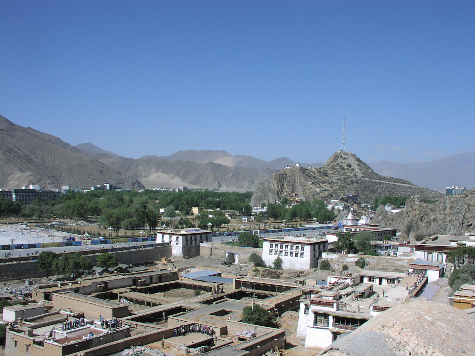
Chakpori Hill (Chagpuri, Chagpori, Iron Hill) was formerly the site of the Tibetan Medical College, which was destroyed in fighting between Tibetans and Chinese in 1959. Now there is a radio facility on the hill.
Photos start facing approximately southwest, and go around clockwise.
Chakpori Hill (Chagpuri, Chagpori, Iron Hill) was formerly the site of the Tibetan Medical College,
which was destroyed in
fighting between Tibetans and Chinese in 1959. Now there is a radio facility on the hill.
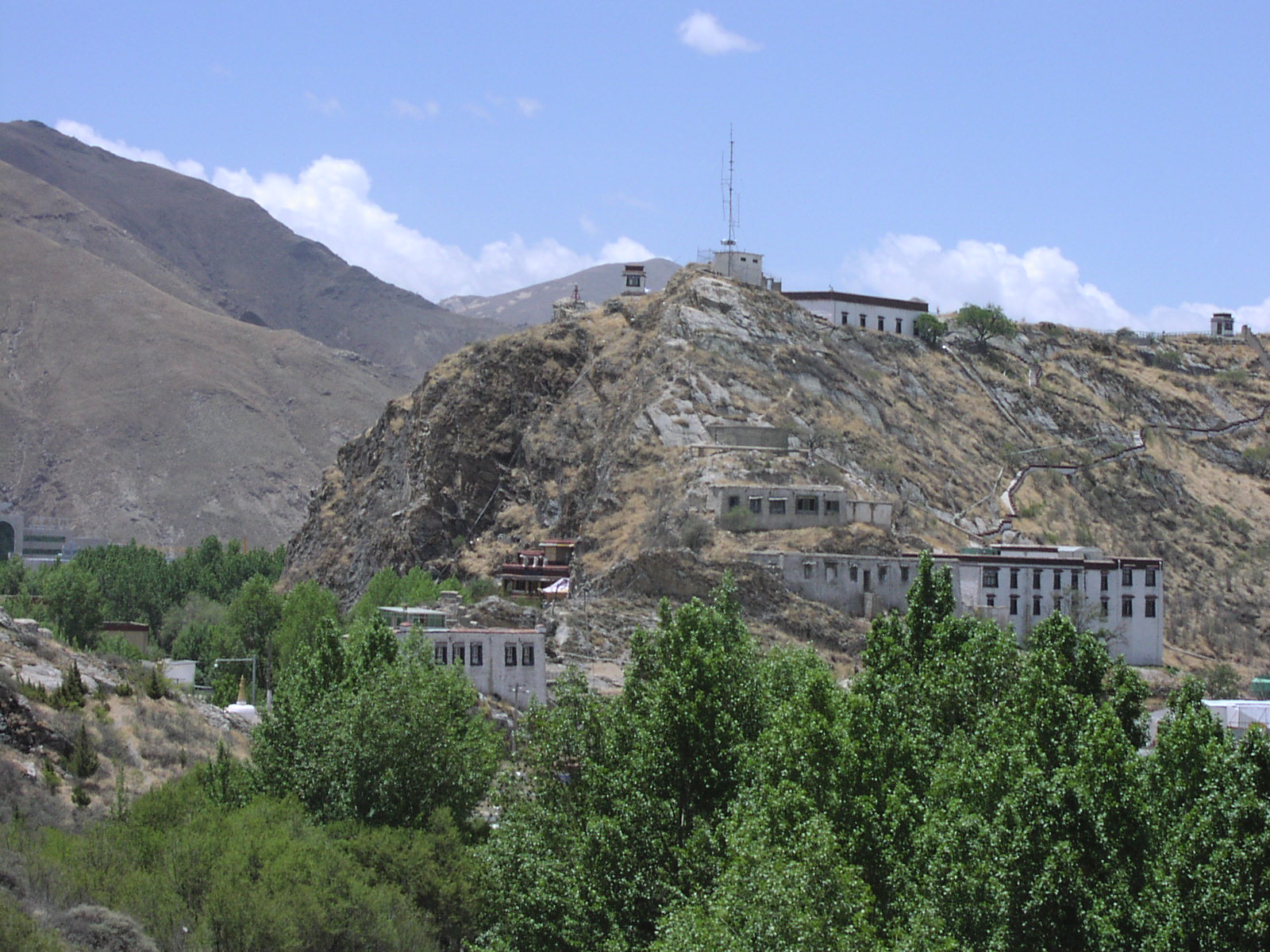
Chakpori Hill.
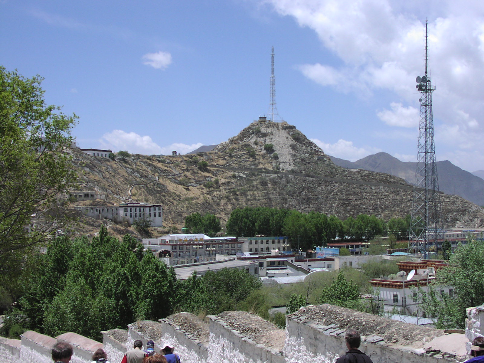
Chakpori Hill.
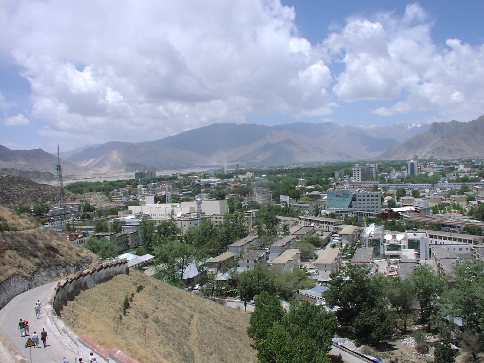
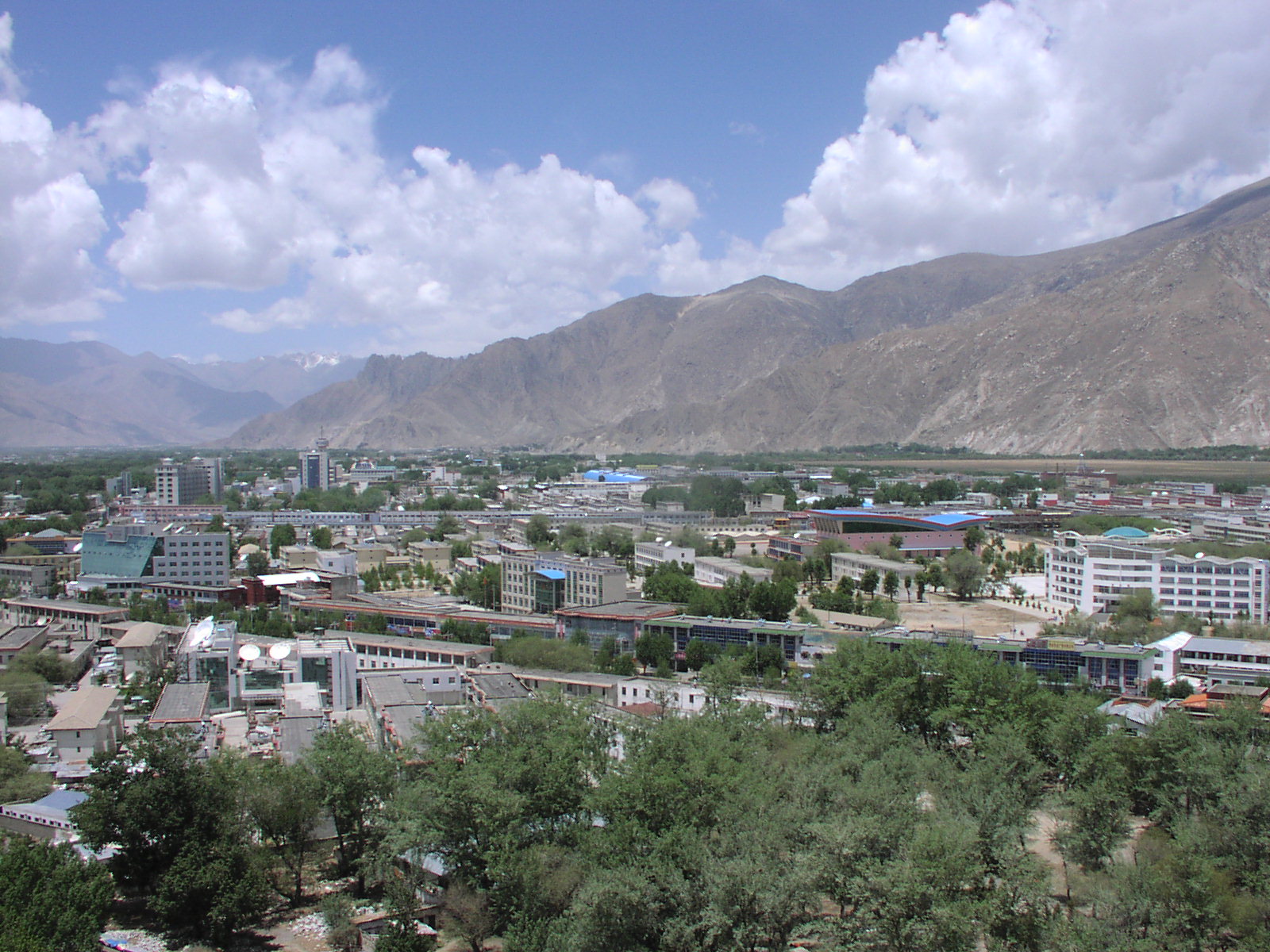
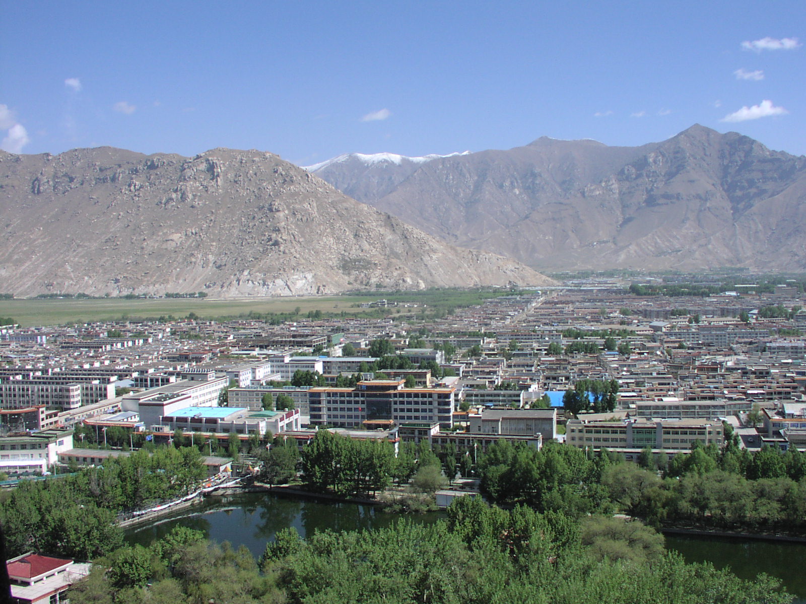
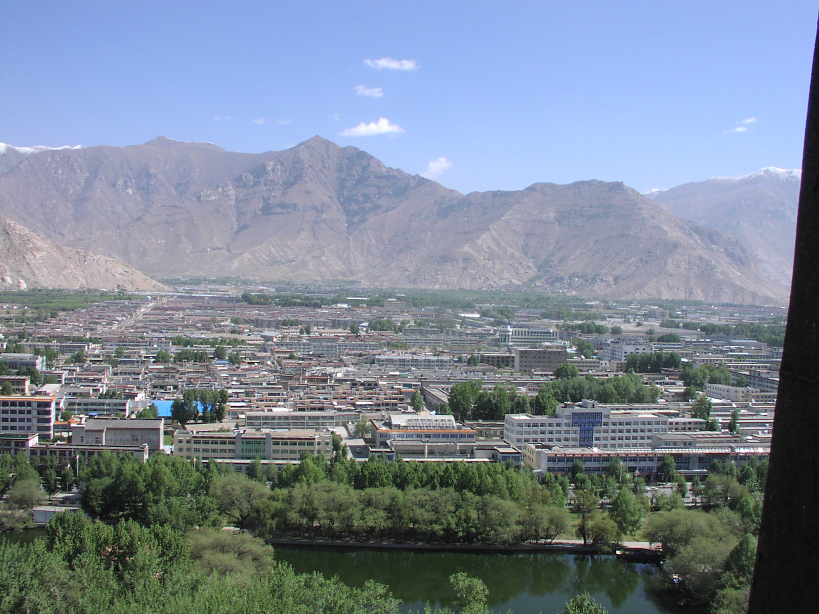
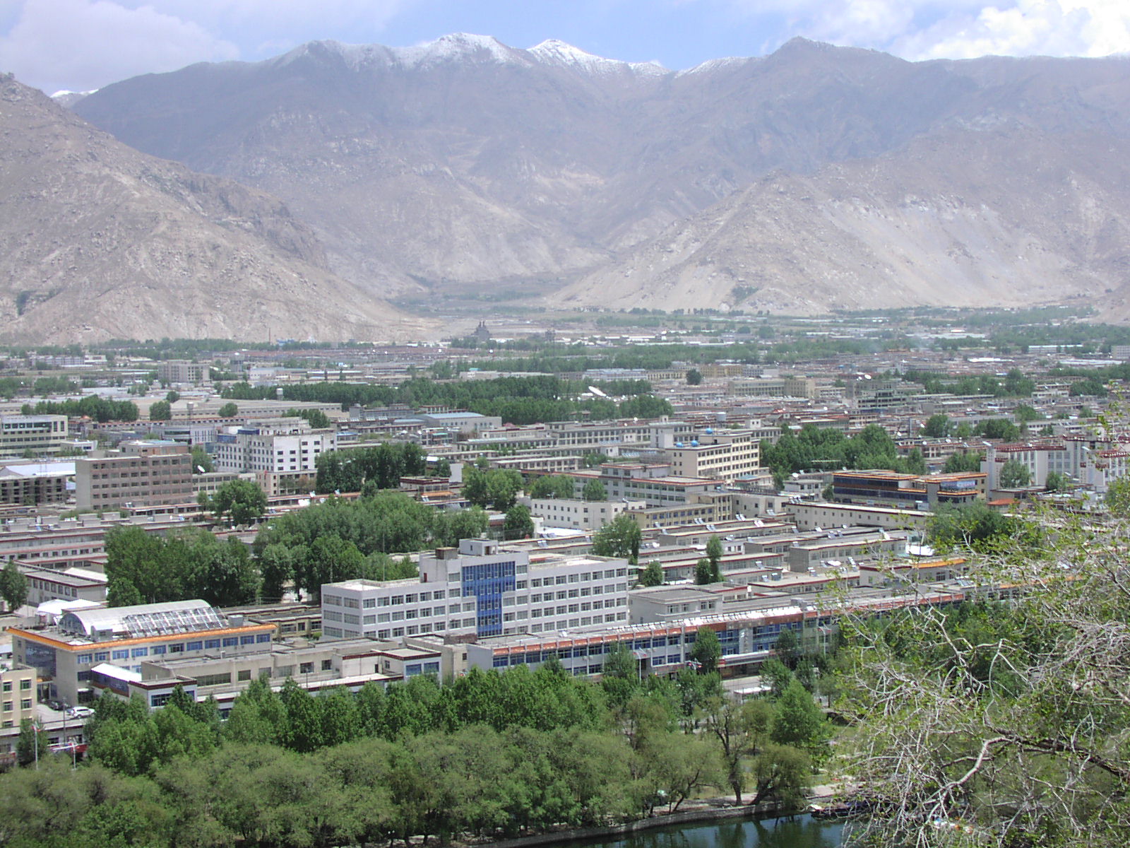
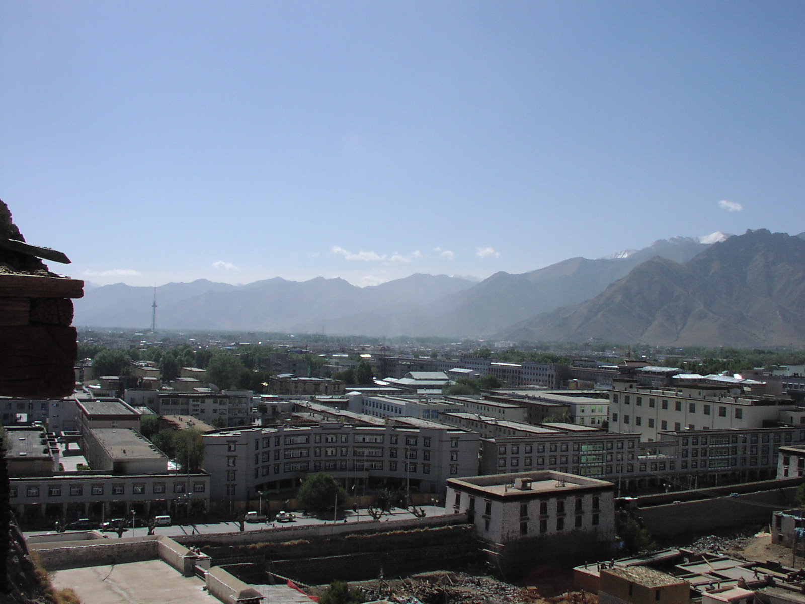
Note the contrast, typical for at least this part of Tibet, between the flatness of the valley in which the city of Lhasa is located, and the steepness of the surrounding mountains.
I believe the road to Gongga airport goes through the valley on the left, following the
Lhasa River downstream.
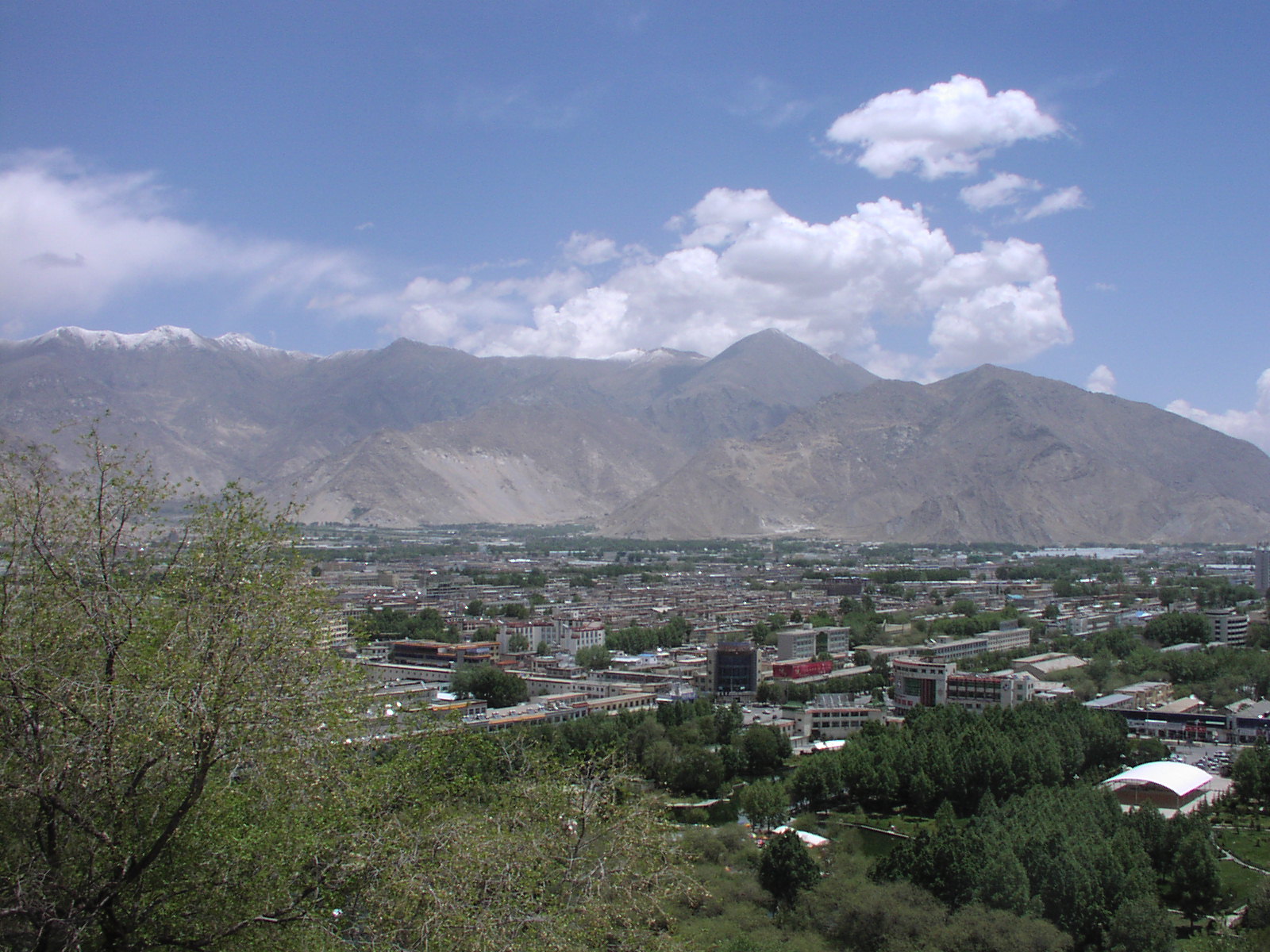
View to the West. Lhasa has only recently expanded to include this area.
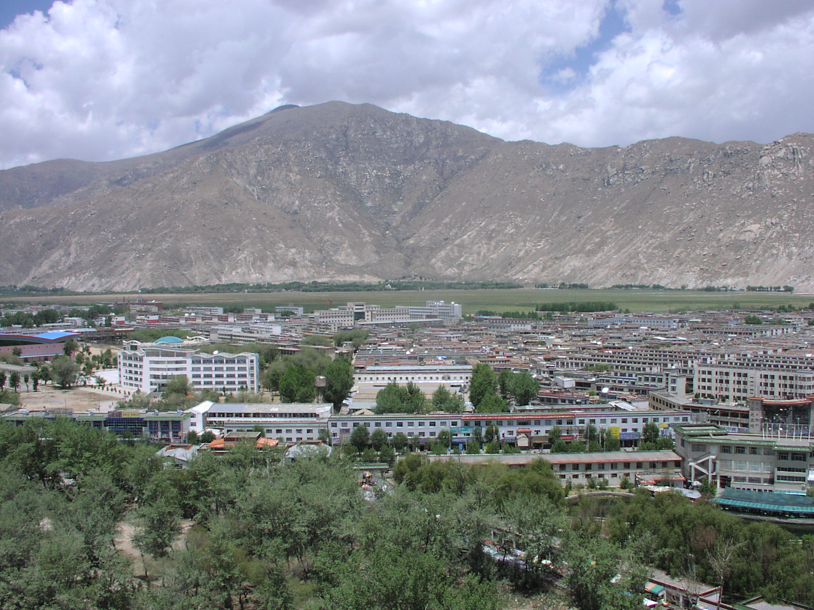
Same, zoomed for closer view
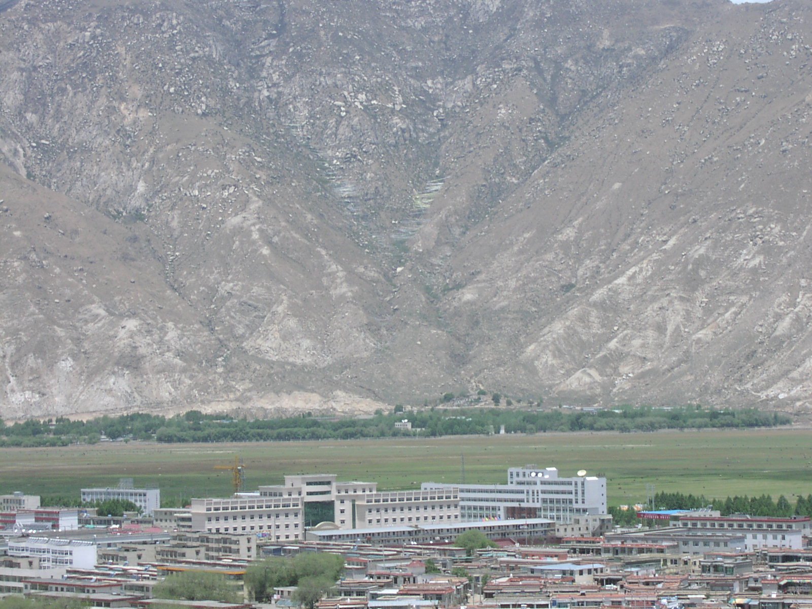
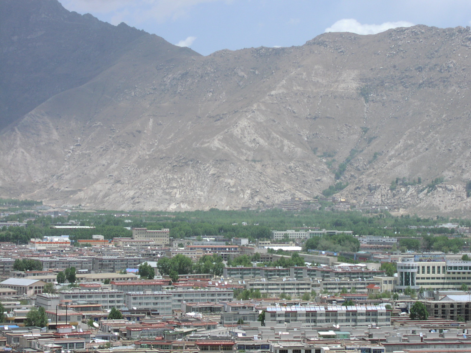
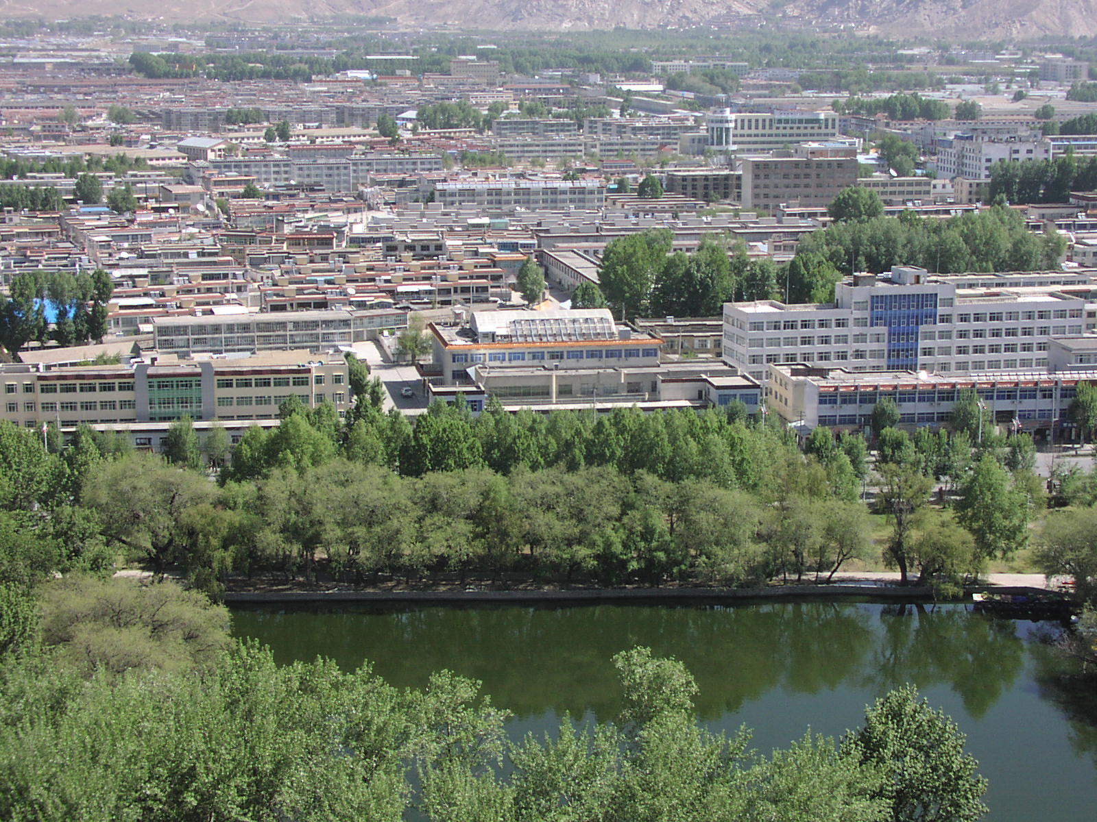
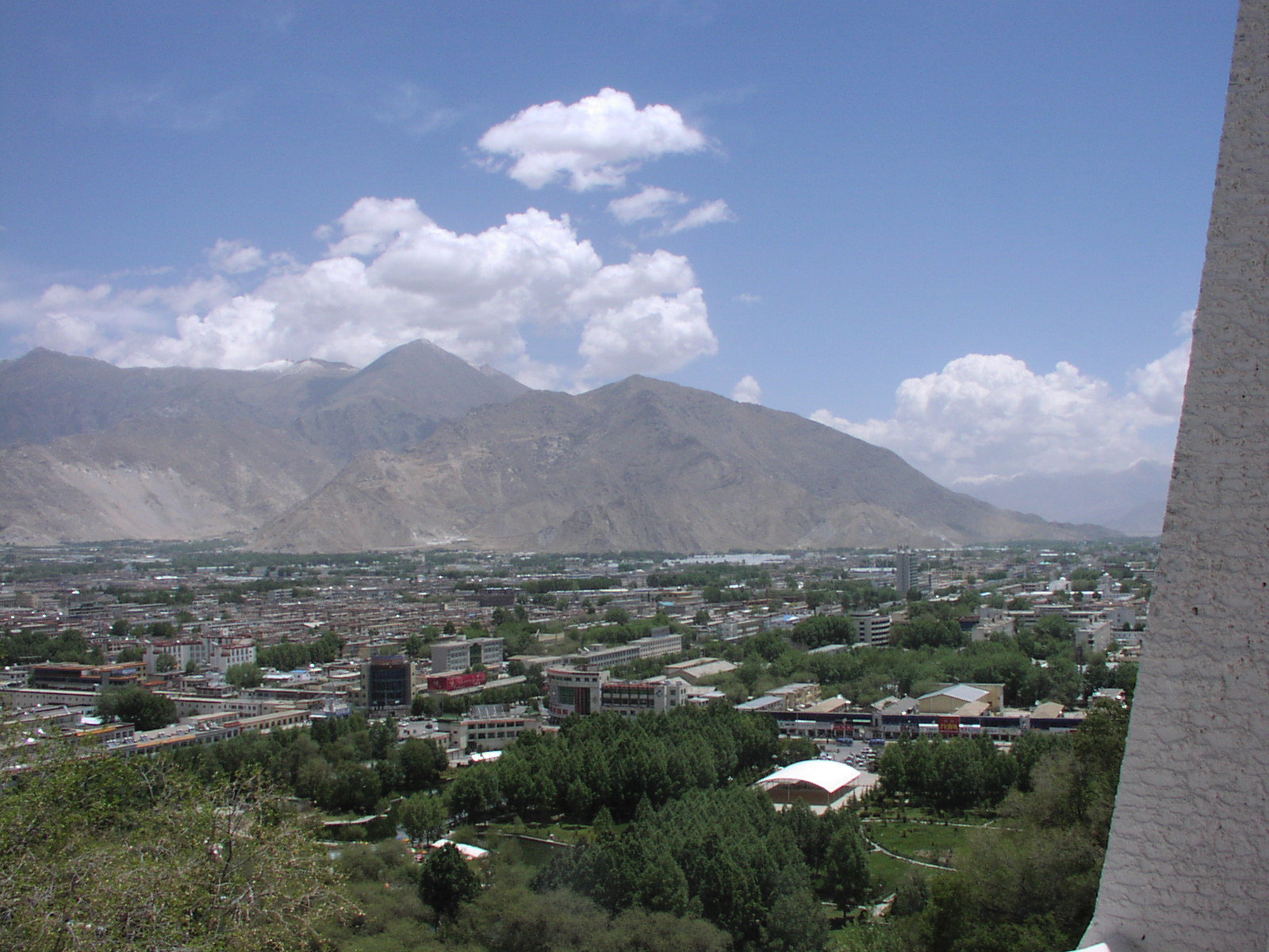
Facing north from the Potala.
Same direction, zoomed
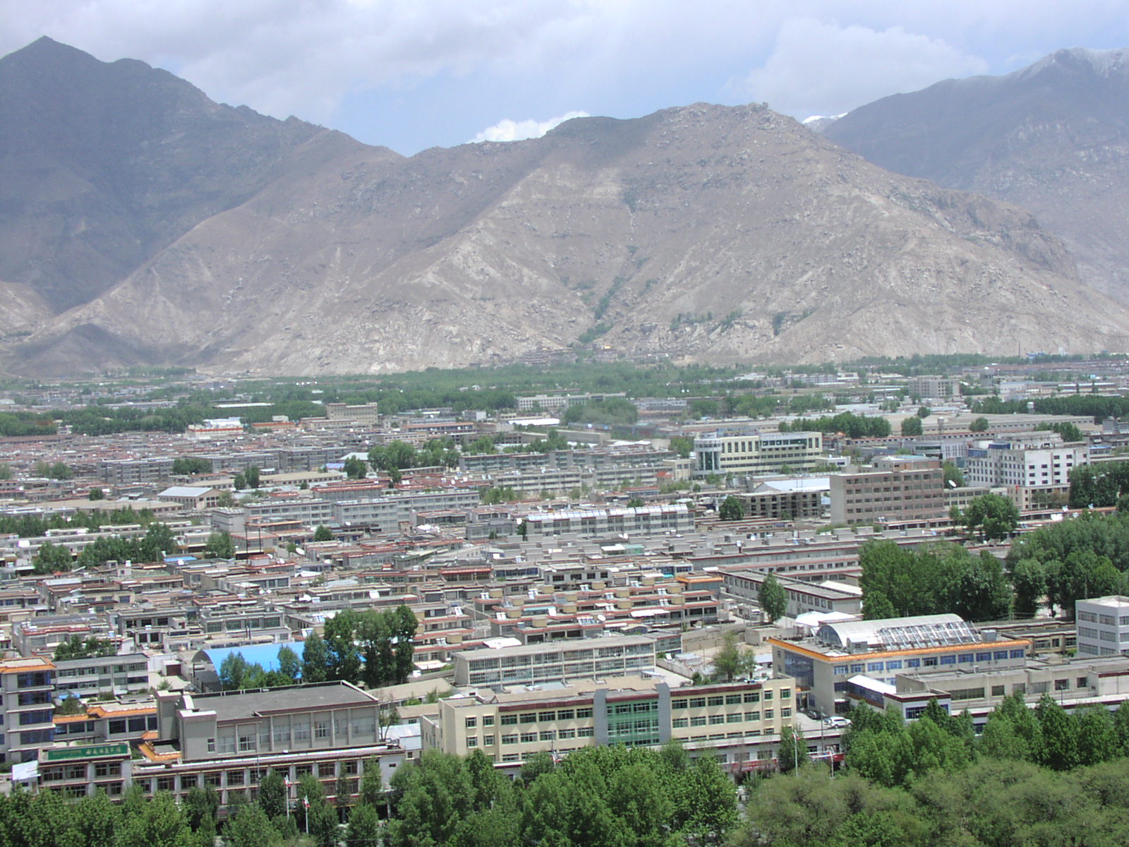
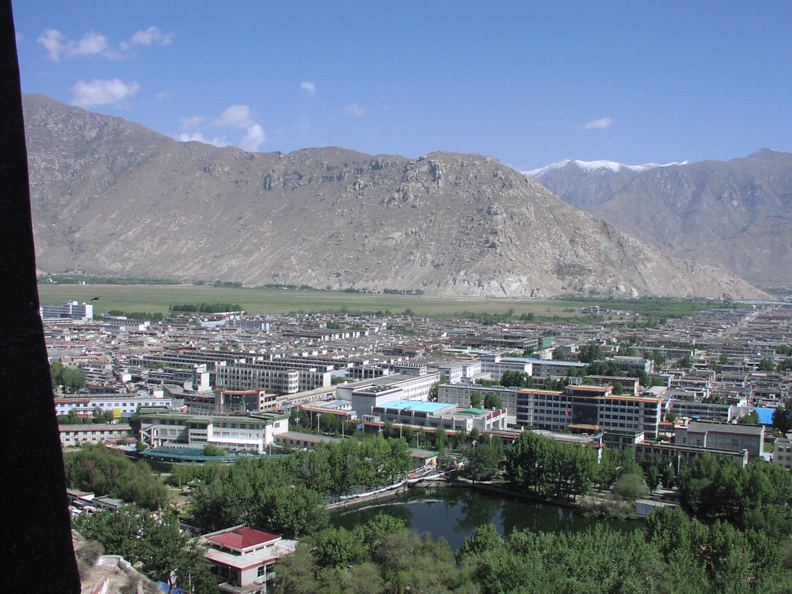
Northeast from the Potala
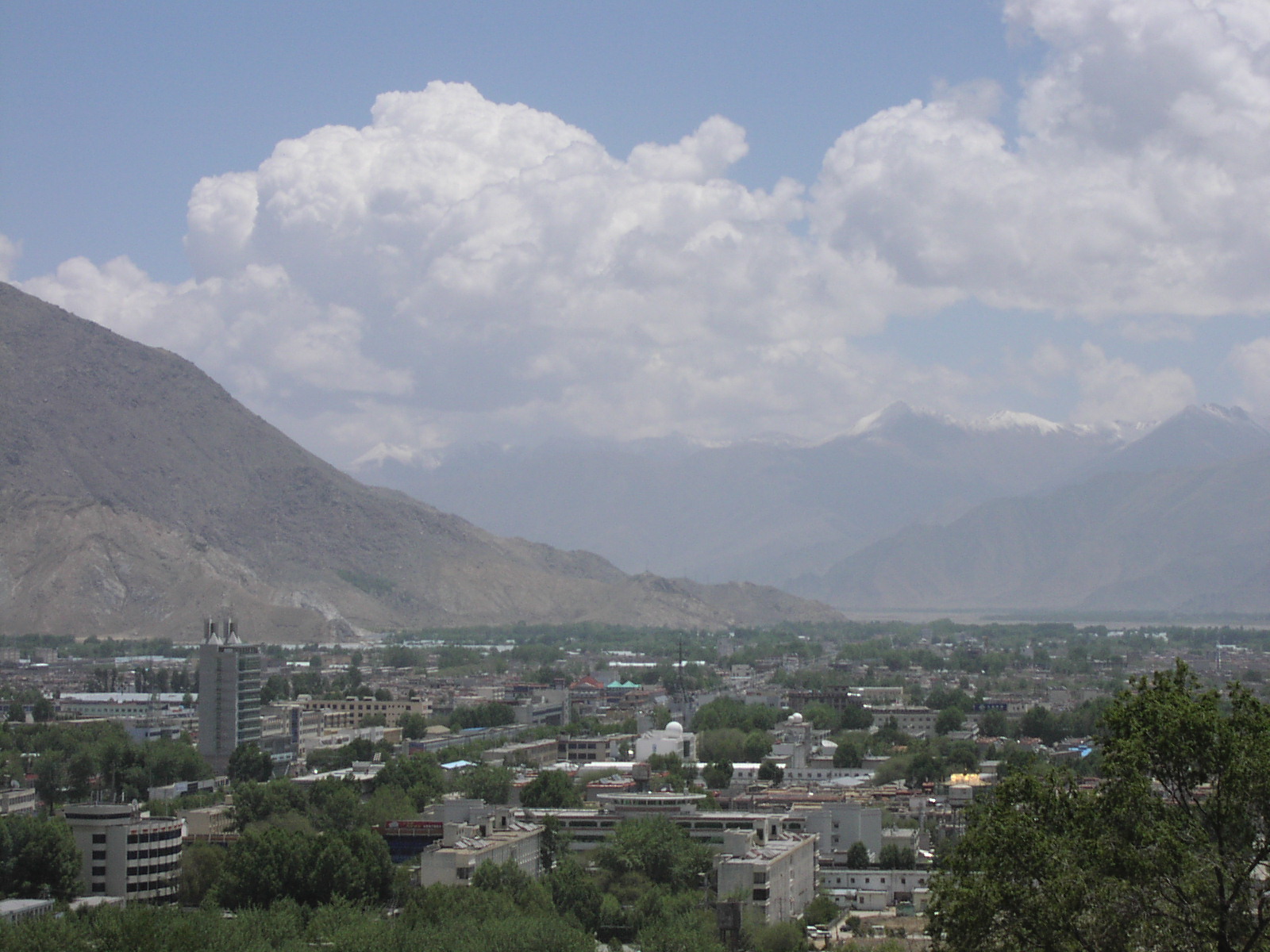
ch055313: East-northeast. If one follows that valley in the distance, one is going upstream along the Lhasa
River, toward the Ganden Monastery.
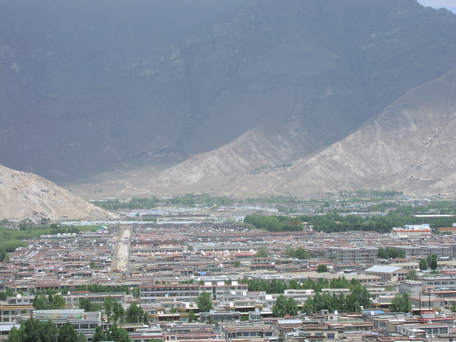
Facing east-southeast, toward the old town of Lhasa.
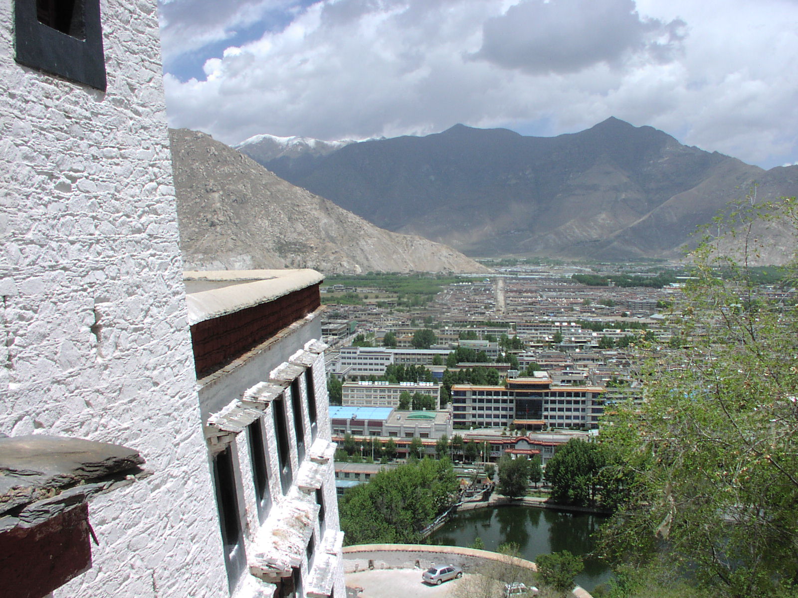
Facing southeast from the Potala.
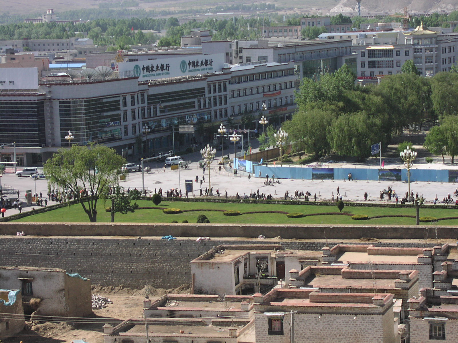
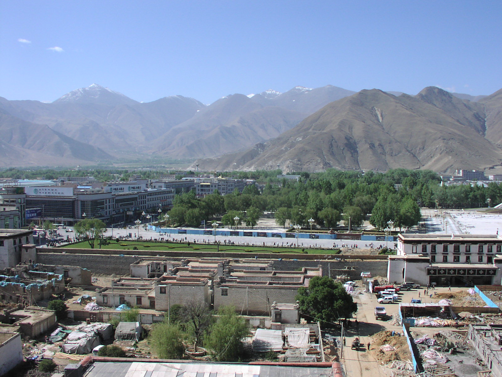
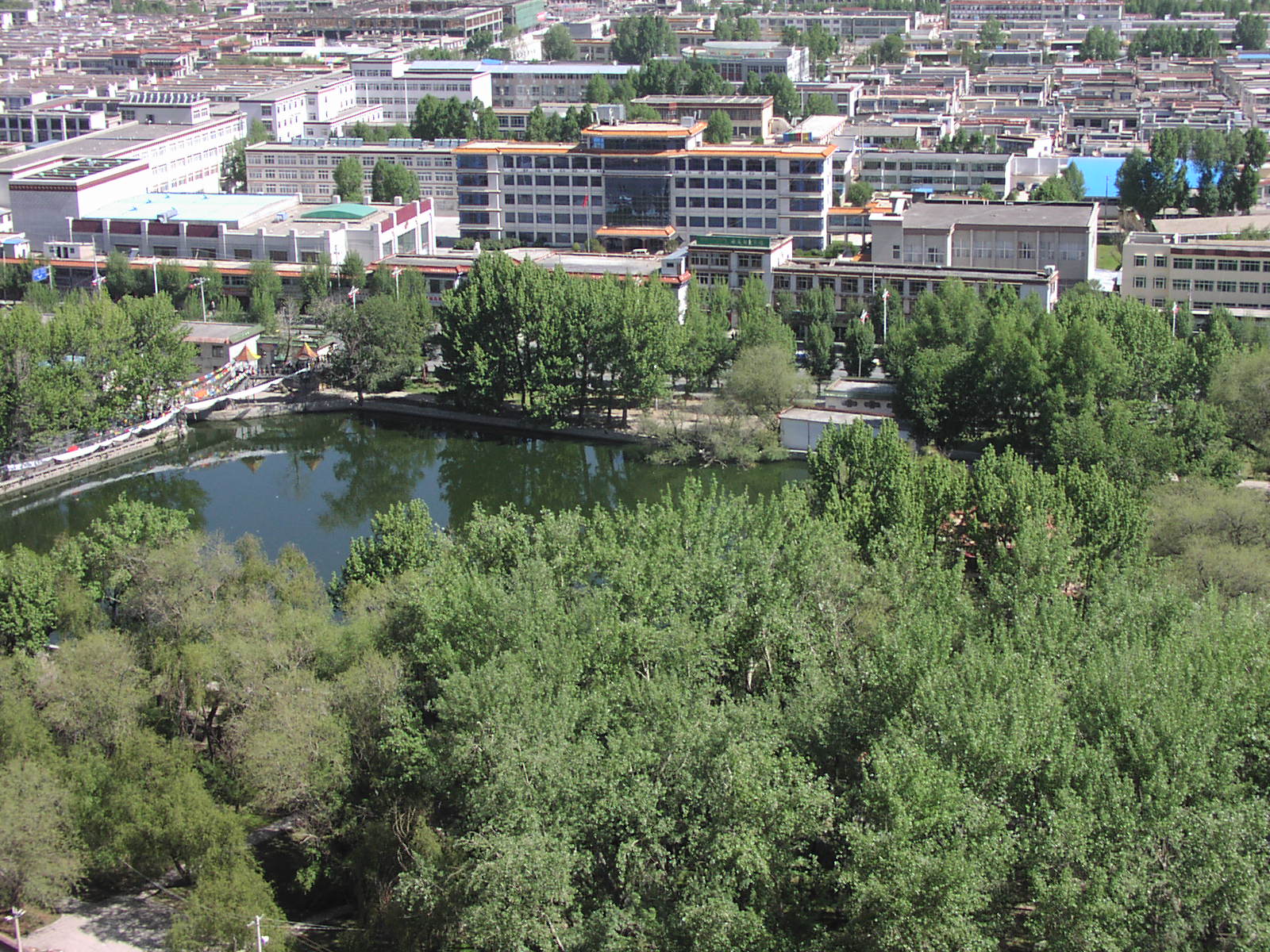
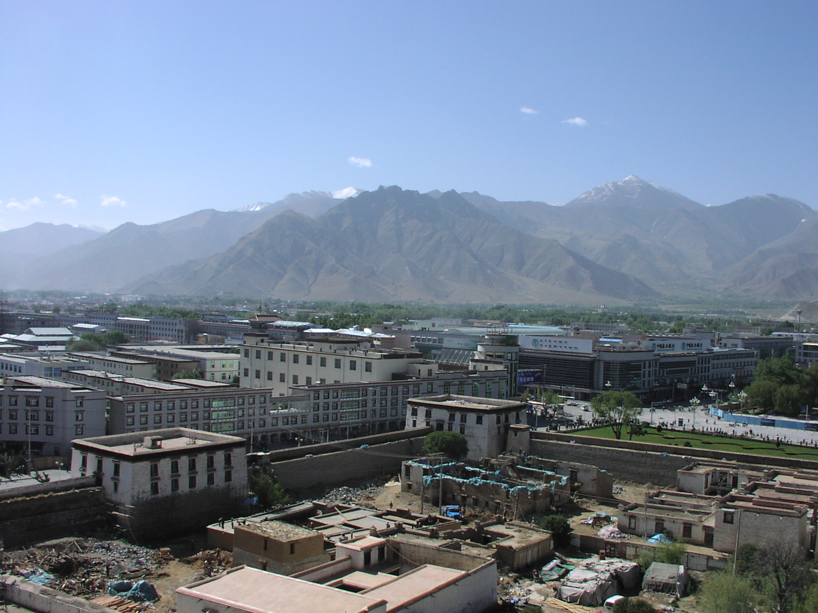
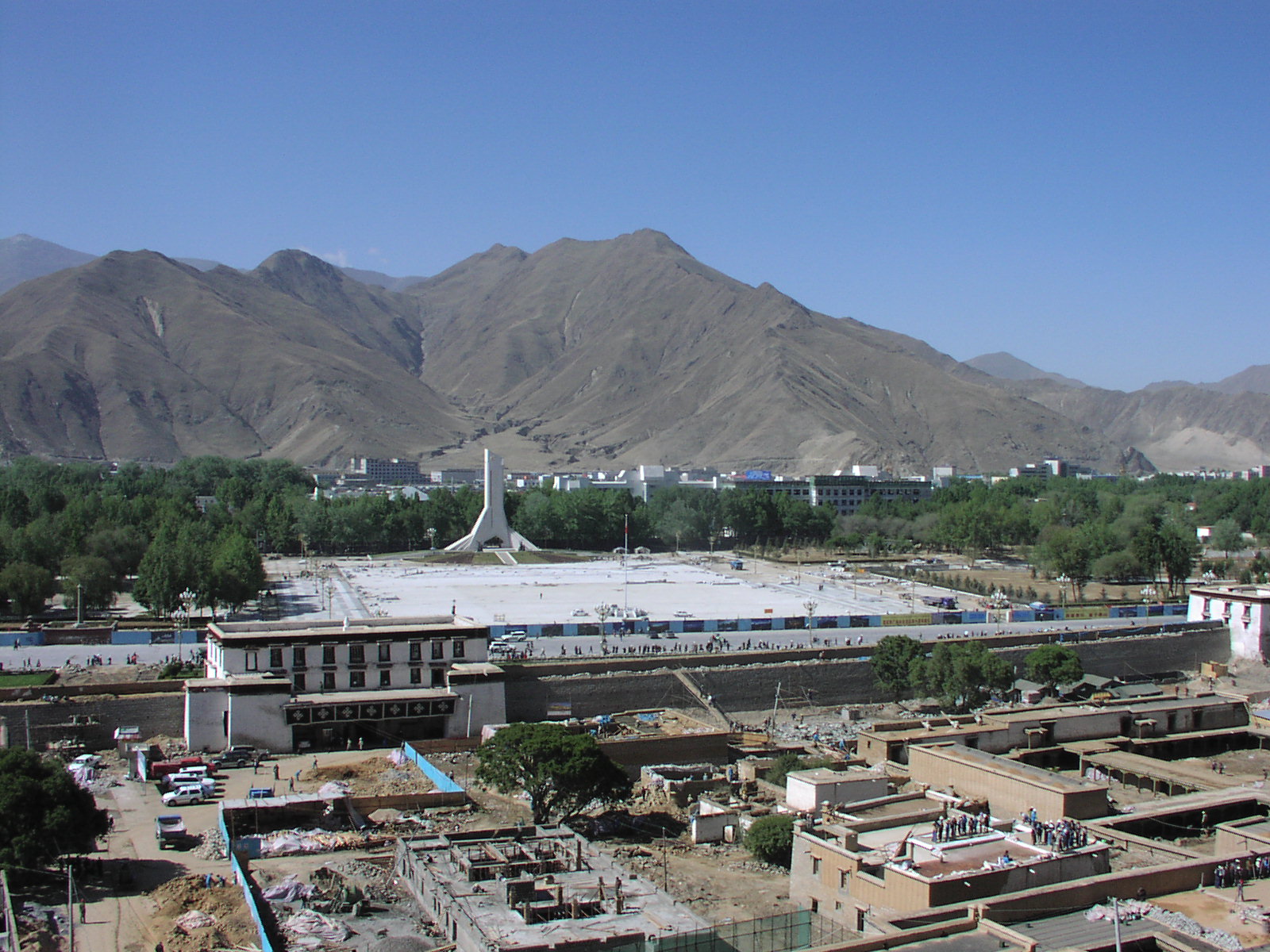
Facing south from the Potala. The
walled area containing a lot of the more important government and
Communist Party offices is on the far side of those trees.
If you want more detail, I have a Version of this page with the photos enlarged
Copyright © 2005, Edwin E. Moïse. Revivised June 24, 2005.