Most of the very large cities in China, and most of the recent economic development, are near the coast. Chongqing, formerly a part of Sichuan Province (it is now a municipality ruled directly from Beijing, as if it were a province) is an exception on both counts. It is deep in the interior of China, it is huge, and it seems to be growing vigorously.
Chongqing is at the junction of the Jialing and Yangzi (Yangtse, Chang Jiang) Rivers. The original heart of the city was on a peninsula with the Jialing to its north and the Yangzi to its south and east. The Jialing flows into the Yangzi at the northeast tip of this peninsula.
West of the city center the peninsula narrows to a neck, much of it occupied by a dramatic peak, which has an essentially vertical cliff facing toward the Jialing to the northwest, but has a steep road running up it on its other side. On top of this peak is the E Ling Park, from which much of the city can be seen. Unfortunately, the weather was a bit hazy, as it often is in Chongqing, when these photos were taken:
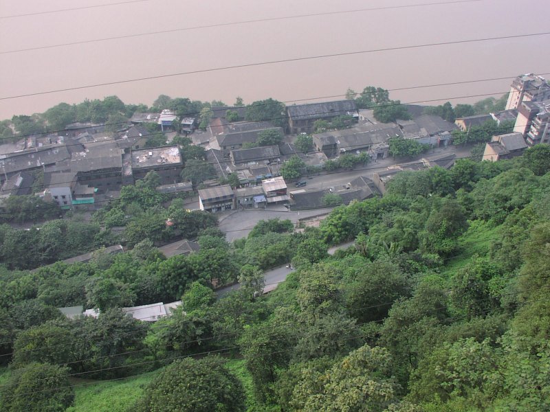
View down the cliff on the northwest side, at buildings on the south bank of the
Jialing River:
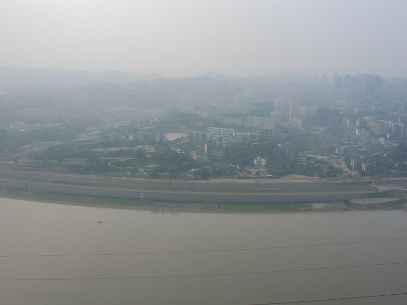
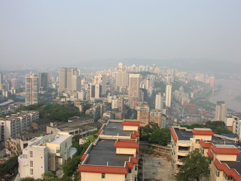
View northwest:
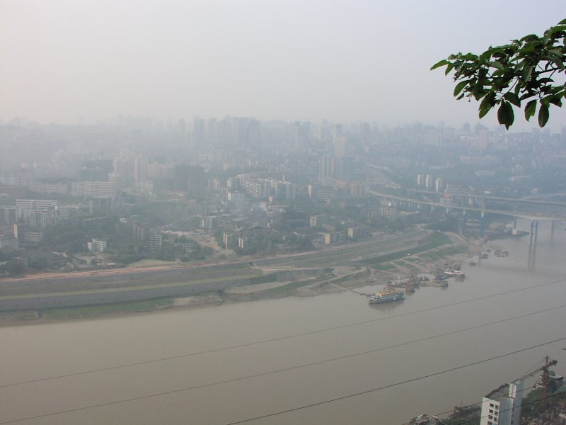
View north:
View north-northeast:
View northeast:
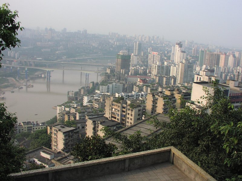
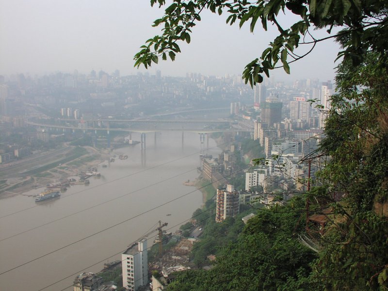
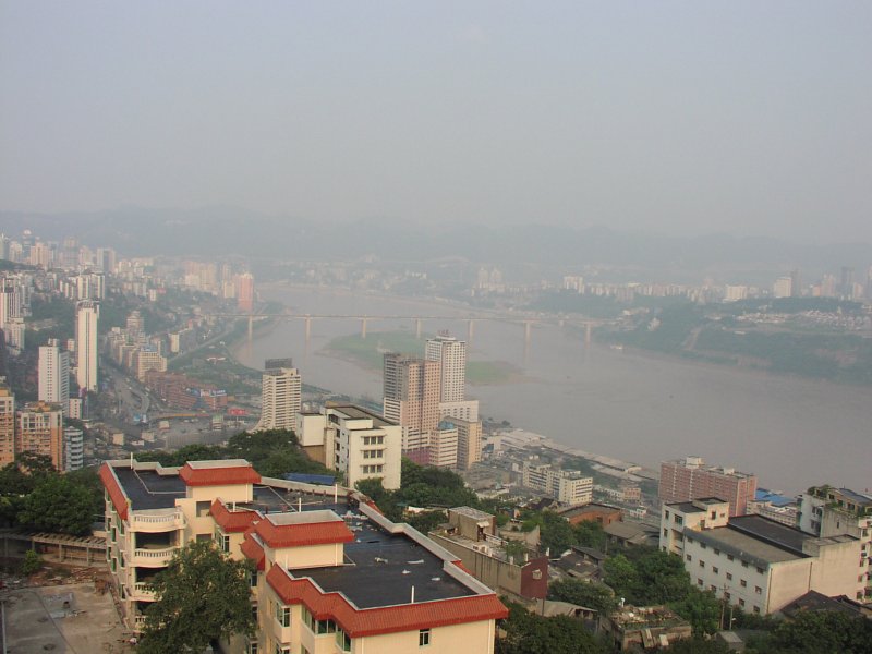
View east, toward the original city center; note bridge across Yangzi River at right:
View east, with clearer view of Yangzi bridge; note new apartment building, I think
still under construction, in foreground:
View east-southeast; note two new apartment buildings under construction bottom right:
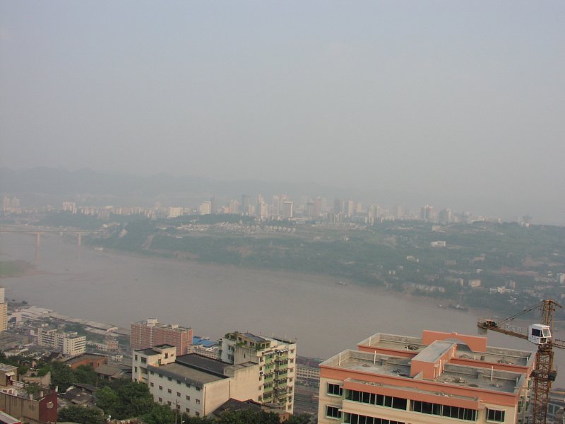
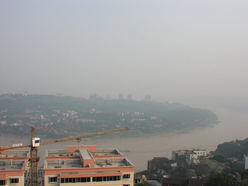
View south, with the same two apartment buildings, plus two more that had not been
visible in the last photo, under construction in foreground. Note another bridge across
the Yangzi dimly visible in the haze at right.
Copyright © 2002, Edwin E. Moïse. Revised August 10, 2002.